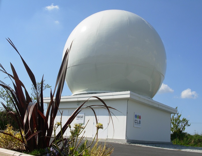
VIGISAT, the first French civilian station for satellite radar images reception
CLS puts the ocean under high surveillance
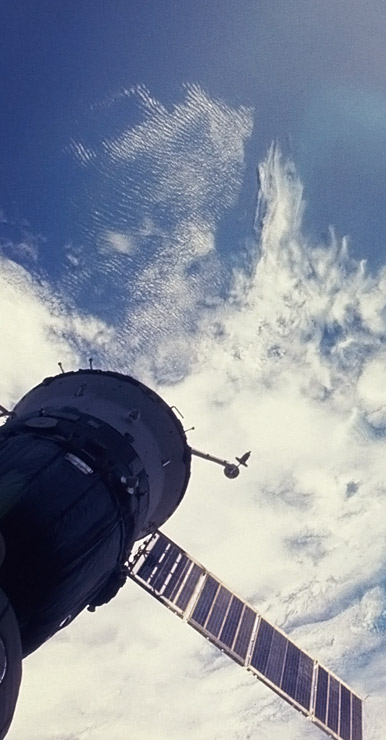
VIGISAT is one of the main French stations for direct reception and analysis of high resolution radar images operated by CLS. It is part of a network of antennas that provides global coverage. Thanks to the Sentinel-1 satellite and the expertise of CLS teams, it is now possible to observe the Earth and obtain images from anywhere in the world.
- Monitoring pollution and identifying polluters
- Detection of illegal fishing
- Knowledge of the maritime situation
- Detection of icebergs
- Environmental monitoring
- Support to the offshore oil & gas industry
- Support to renewable energies (offshore wind).
It is a reference center for near-real-time satellite-based maritime surveillance services. Thanks to satellite radar imagery and the expertise of CLS, the VIGISAT antenna network offers the best ocean monitoring and observation services to maritime governments, the defense forces, the offshore industry, researchers and environmental associations.
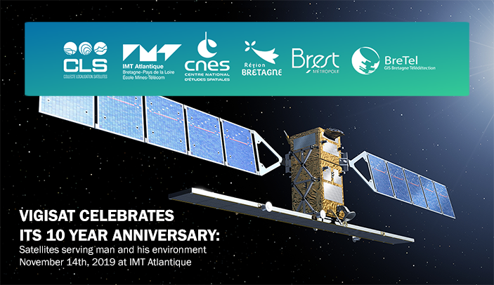
Satellites serving man and his environment
VIGISAT célèbre ses 10 ans. Elle est la première et unique station civile de réception d’images satellite radar haute résolution sur le site du Technopôle Brest-Iroise.
Elle est détenue et opérée par CLS, filiale du CNES, adossée à un projet scientifique ambitieux porté par l’IMT Atlantique.
VIGISAT celebrates its 10 year anniversary. It is the first and only civilian station to receive high-resolution radar satellite images on the site of the Brest-Iroise Technopôle.
It is owned and operated by CLS, a subsidiary of CNES, backed by an ambitious scientific project led by IMT Atlantique.